
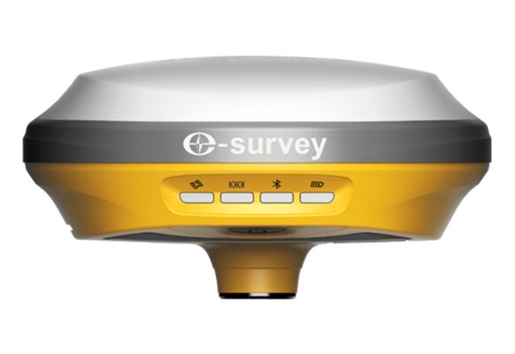
eSurvey E100 NextGen
The eSurveyE100 NextGen is a powerful, multi-constellation and multi-band network GNSS receiver with centimeter, survey-grade precision. The receiver tracks all available satellite constellations: GPS, GLONASS, Galileo, BeiDou and QZSS. With only 900 g, it is one of the most lightweight professional GNSS receivers on the market. It extends the use of our GeoAce Augmented Reality solution.
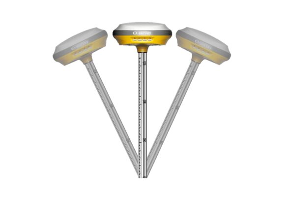
Tilt compensation up to 60 degrees
The eSurvey E100 NextGen is equipped with a powerful, calibration-free IMU which allows tilt compensated measurements up to 60 degrees tilt. The IMU is free from magnetic interference and provides 3 cm accuracy with tilt values up to 30 degrees and 5 cm accuracy with tilt values up to 60 degrees.
Tilt compensation improves and speeds up topographic surveys and stakeout. You don't need to hold the survey pole vertically. It allows measurements into building corners and other difficult to reach features.

Built-in 4G modem, BT and WiFi
The eSurvey E100 NextGen integrates flexible communication options: The integrated 4G modems allows for easy setup, high-speed internet connection for various Ntrip services. The network connection can be shared with the connected controller and provides internet connectivity as well.
You can connect your Android or iOS device via Bluetooth or WiFi. The E100 NextGen includes a WebUi to configure the receiver to your needs. No other configuration software is necessary.
10 hours on a single charge
The eSurvey E100 NextGen uses an integrated Li-ion battery with 6.900 mAh which provides power for a full, very long working day. It can be fully charged in less than 4 hours using an USB wall charger or a power bank over USB-C.

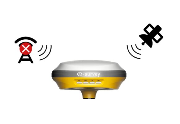
Satellite Correction Service
No need to worry if your jobs gets you to areas without cellular connectivity. The integrated L-band antenna and the Atlas GNSS Global Correction Service provide correction data almost anywhere in the world.
You can chose from 3 service levels: H10 provides 4 cm horizontal precision, H30 provides 15 cm and Atlas Basic gives you 30 cm positioning accuracy on land and off-shore.